Investigating the morphology of the local rivers
Surveying overview
Freshwaters are dynamic and significant habitats, providing an important cultural and recreational focal point, hosting key natural processes, and providing important connection within a landscape and to the wider world.
Understanding freshwaters requires evidence of the quality and diversity of waterbodies and associated habitats, knowledge of the animals and other lifeforms living within these habitats, and investigations into what potentially is stressing rivers, streams and lakes, stopping them from fulfilling their important role.
Sustainable Duddon and its sister organisation the Duddon Rivers Association are involved in a range of activities to build understanding of freshwater bodies within the Duddon catchment. The main actions are water quality monitoring, MoRPh surveying, electrofishing, and riverfly surveying.
MoRPh
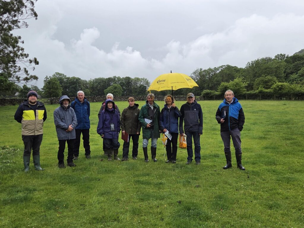
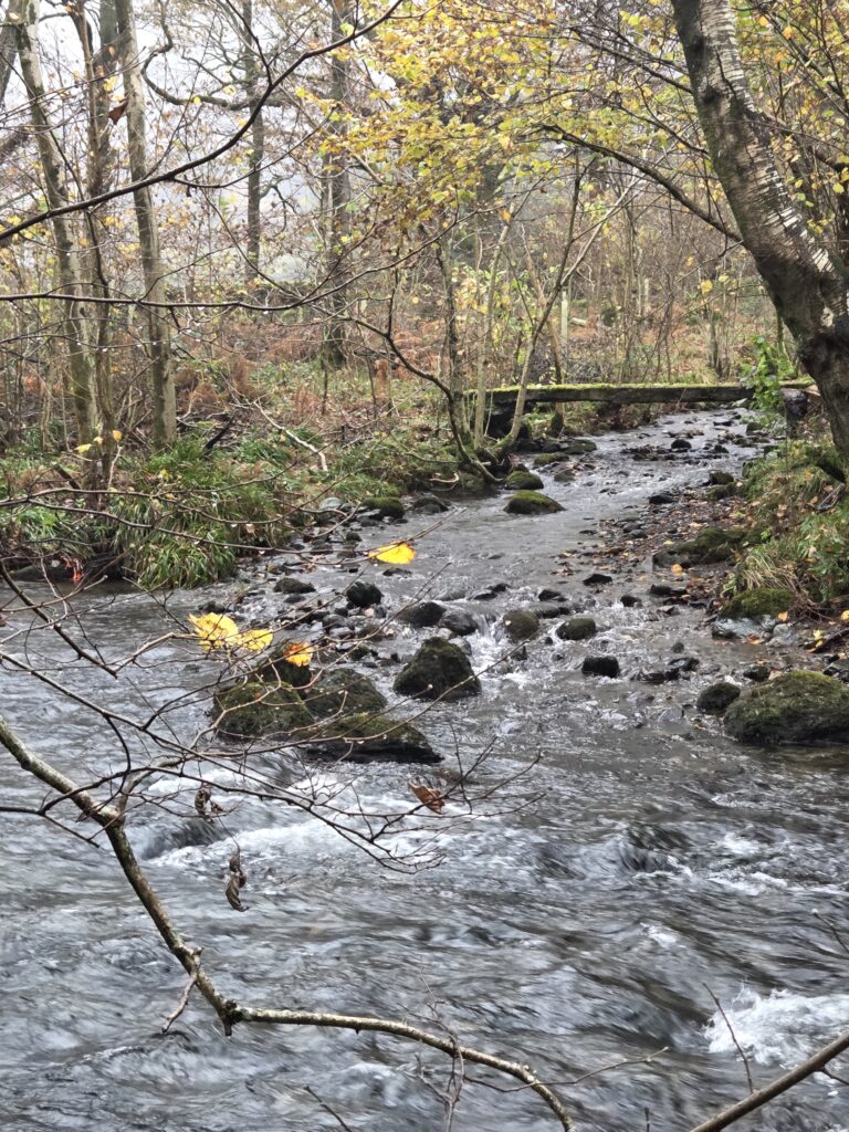
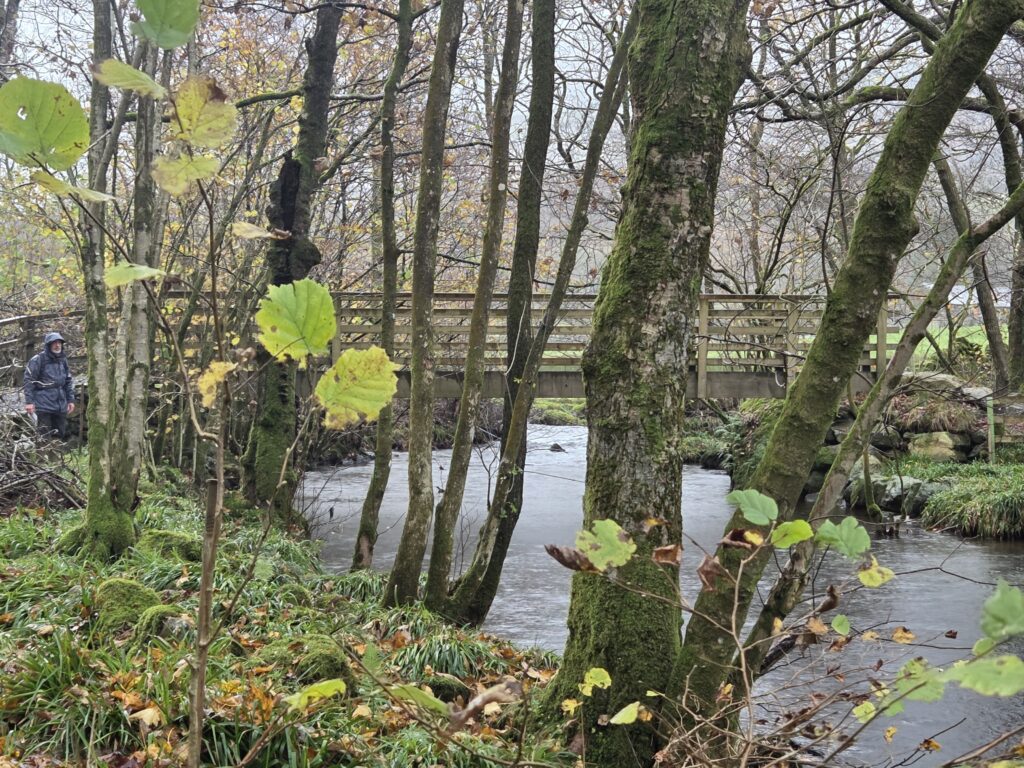
The Modular River Physical (MoRPh) habitat survey was designed to assess the quality of river and streams habitats, providing information on the expected natural community, and highlighting potential pressures affecting a watercourse. The survey is designed to be carried out by volunteers after undergoing a day of training.
The survey assesses several elements of the riverbed, riverbanks, and land adjacent to the watercourse to understand river habitat quality. This is done through answering questions on vegetation coverage, flow behaviour, sediment, and others. The survey produces several outputs which capture a variety of aspects of habitat condition and function and allow a river to be compared with others across the UK.
MoRPh surveying carried out by Sustainable Duddon is often in the MoRPh 10 format. These see 10 MoRPh surveys in a continuous chain along a river performed over a short period. This creates a more detailed picture of a section of a watercourse, providing additional survey outputs, and giving volunteers an opportunity to connect with the river and each other.
As indicated above, the outputs of MoRPh surveying allow sites and waterbodies to be compared across the catchment, region, and country. This data will evidence the current status of our rivers and streams, highlight areas of high-quality habitat and areas that may require assistance. This data will help when communicating with stakeholders and external partners, painting a picture of the type and quality of rivers within the Duddon, as well as what work is required.
Beyond being valuable information about the status of the Duddon and its tributaries, MoRPh will be used to create a record in time of the Duddon catchment water bodies. Repeat surveying of sites will show improvements in river and stream condition, evidencing the impact of land managers on improving the environment. This data will establish a record of delivery within the area.
Finally, MoRPh surveying will be combined with other investigations into Duddon rivers to build a detailed picture of the catchment freshwater ecosystem and how it functions. This requires data on habitat, ecology, and water quality, which MoRPh surveying assists in providing. The combined dataset will have national significance, providing exciting opportunities for partnership working, and will open opportunities to investigate the Duddon and it’s tributaries in detail.